
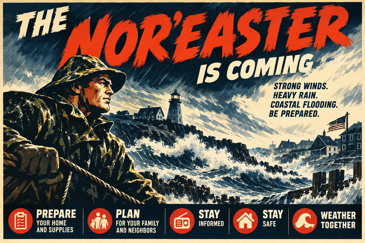
For millions of Americans living from the Mid-Atlantic through New England, the final weekend of September may feel much more like November.
A strengthening coastal storm is moving north along the Eastern Seaboard, and meteorologists expect it to develop into a significant, long-duration nor’easter. Unlike the famous winter nor’easters that bury cities beneath snow, this storm will primarily be a wind, rain, coastal flooding and surf event.
That does not make it harmless.
As of the morning of September 25, National Weather Service forecasts call for a prolonged period of strong winds, heavy rain, dangerous seas and coastal flooding extending from portions of the Mid-Atlantic through New England. Some of the most serious impacts are expected across Long Island, Connecticut, Rhode Island and eastern Massachusetts.
For residents of the Northeast, this storm is also an opportunity to consider a larger question: If the power disappeared tonight, roads flooded tomorrow and stores were inaccessible for several days, would your household actually be ready?
That is a question worth answering before the weather turns bad.
First: What Exactly Is a Nor’easter?
Despite their association with snow, a nor’easter is not necessarily a winter storm.
The National Weather Service defines a nor’easter as a storm along the East Coast of North America in which coastal winds typically come from the northeast. These systems can occur throughout the year, although they are most frequent and violent from September through April.
The geography of the East Coast makes it particularly vulnerable.
Low-pressure systems frequently develop somewhere between the Southeast and Mid-Atlantic and then move northward near the coastline. Warm Atlantic waters provide enormous quantities of moisture and energy while atmospheric disturbances and colder air approach from the continent.
As the coastal low strengthens, air circulates counterclockwise around it. Communities north and northwest of the storm therefore experience powerful winds coming off the Atlantic from the northeast — hence the name nor’easter.
Those winds can continue pushing ocean water toward shore for multiple tidal cycles.
That distinction is important.
A hurricane may produce a tremendous storm surge as it approaches the coastline, but a slow-moving nor’easter can batter the same shoreline through tide after tide after tide.
The result can be serious coastal flooding and erosion even without hurricane-force sustained winds.
Historically, nor’easters have produced some of the Northeast's most destructive weather events, including the Blizzard of 1888, the Ash Wednesday Storm of 1962, the Blizzard of 1978 and the 1993 Superstorm.
Why This Nor’easter Has Forecasters’ Attention
Several ingredients make the September 2026 storm particularly noteworthy.
First is simply the timing.
September nor’easters happen, but powerful early-season storms receive less attention than their winter cousins. Trees are also still fully leafed across much of New England. That matters because leaves create additional surface area for strong winds to push against.
Add saturated soil from heavy rainfall and trees become more susceptible to falling.
The National Weather Service in southern New England specifically warned that the combination of long-duration winds, heavy rain and fully leafed trees could increase the threat of tree damage and power outages. Coastal Massachusetts and portions of Rhode Island are under High Wind Warnings, with northeast winds of 25–35 mph and gusts of roughly 45–60 mph expected in the warned area.
The second issue is duration.
This storm is not expected to simply race through the Northeast.
An upper-level low is becoming trapped near the region, which is one reason forecast models have struggled with the storm's precise movement. The National Weather Service expects the surface storm to deepen Friday night into Saturday, linger into Sunday and gradually depart early next week.
That creates a prolonged period of wind, rain, waves and elevated water levels.
And that is where the problems can compound.
What the Forecast Models Are Showing
Weather models are not crystal balls. They are extraordinarily complex simulations of the atmosphere, and different models can produce different solutions depending on how they handle atmospheric conditions.
Two models commonly discussed during major American storms are the GFS, operated by the United States, and the ECMWF, commonly called the European model.
Earlier forecasts showed a meaningful disagreement.
The European model favored a stronger storm closer to the coastline, while earlier American guidance depicted a weaker system farther offshore. By September 23–24, however, those solutions had begun moving toward one another.
That convergence increases confidence that a significant coastal storm will affect the Northeast.
There is still uncertainty.
The Weather Prediction Center has noted continuing disagreement among global models concerning the exact location and central pressure of the storm. Small track differences could substantially change which communities receive the strongest winds and heaviest rain.
That is especially important with a slow-moving storm.
Shift the storm 50 or 100 miles east and one community may experience an unpleasant rainy weekend.
Move it west and that same location could experience substantially heavier rainfall and stronger winds.
The National Weather Service's New York office said forecast confidence had risen to moderate as models came into better agreement, while cautioning that changes remain possible. Its current scenario takes the storm near the traditional 40°N/70°W benchmark Friday night into Saturday before the system loops or “retrogrades” back toward the region Sunday.
That unusual movement helps explain why this could become such a prolonged event.
Long Island and the New York Metropolitan Area
Long Island may experience some of the storm's more significant effects.
The National Weather Service currently forecasts approximately 3–5 inches of rain across Long Island and southern Connecticut, with roughly 1–3 inches elsewhere around the New York metropolitan area. The exact rainfall axis remains dependent upon the storm track.
Wind may be equally important.
Peak gusts of approximately 40–50 mph, with isolated gusts approaching 55 mph, are possible, particularly across eastern Long Island and exposed South Shore locations.
Then there is the ocean.
Surf of approximately 7–11 feet is expected along ocean-facing shorelines, accompanied by dangerous rip currents, beach flooding and erosion. Offshore conditions will be substantially worse, with the National Weather Service forecasting waves reaching approximately 15–22 feet on some outer ocean waters.
Coastal flooding may become especially problematic Friday night into Saturday.
There is another factor working against coastal communities: the moon.
Saturday's full moon raises astronomical tides. That means the storm does not have to push as much additional water toward shore to produce flooding.
The National Weather Service says portions of Long Island's South Shore bays could potentially reach major coastal flooding thresholds, depending upon the eventual surge and track.
Residents of historically flood-prone South Shore and North Shore communities should therefore pay particularly close attention to local emergency notifications and tide-specific warnings.
New England Could Take the Hardest Hit
The storm's impacts may become even more significant as it reaches southern New England.
The Weather Prediction Center currently identifies parts of the Northeast as having a Slight Risk of excessive rainfall, with guidance indicating widespread rainfall totals of roughly 2–4 inches and isolated amounts approaching 5 inches during the primary period of concern. Eastern Massachusetts — including the Boston metropolitan area — is one of the areas being watched closely for urban and poor-drainage flooding.
Along coastal Massachusetts and Rhode Island, winds may become damaging.
Current National Weather Service warnings call for gusts of 45–60 mph along portions of the coastline.
Combined with rain and trees that still have their leaves, widespread scattered power outages become a realistic concern.
Travel could also become increasingly difficult.
Road flooding, fallen branches, downed trees and airport disruptions are all possible through the weekend.
Coastal Flooding May Be the Story People Underestimate
Rainfall totals and wind speeds make good headlines.
Water often causes the larger problem.
Persistent northeast winds have already been pushing Atlantic water toward the coastline from North Carolina northward. The storm's slow movement means some communities could experience elevated water levels through multiple consecutive high tides.
Repeated wave action also strips sand from beaches and dunes.
That erosion matters because dunes are not simply recreational scenery. They are part of the coastline's natural defense system.
As waves repeatedly attack them, that protection can weaken.
People should resist the temptation to visit beaches, jetties and seawalls simply to watch the storm.
Large waves are unpredictable.
A location that appears safely above the water can suddenly be overwhelmed by a much larger wave.
The Larger Lesson: Preparedness Should Start Before the Forecast
Storm preparedness has a strange cycle.
Several days before a storm, people ignore it.
Two days before the storm, they begin watching.
The day before the storm, everyone suddenly needs bottled water, batteries, bread, gasoline and generators.
That is exactly backwards.
Real preparedness means possessing the equipment, knowledge and plan before an emergency exists.
The goal is not to build an underground bunker or prepare for civilization to collapse.
The goal is much simpler: Can your household function independently for several days if normal systems temporarily stop working?
Electricity. Water. Food. Heat or cooling. Communication. Transportation. Medication. Information.
Those are the systems that matter.
Building a Real Emergency Supply Kit
The American Red Cross recommends maintaining supplies both for evacuation and for remaining at home. Its baseline recommendation includes approximately one gallon of water per person per day, with three days available for evacuation and as much as two weeks for the home. Similar recommendations apply to nonperishable food.
Water & Food
Drinking water, sanitation water, shelf-stable food and a manual can opener.
Light & Power
Flashlights, headlamps, spare batteries, charging cables and multiple charged power banks.
Medical
First aid, prescription medication, OTC medicine, eyeglasses and batteries for medical devices.
Communication
Battery or hand-crank radio, NOAA Weather Radio, emergency contacts and paper maps.
A serious household emergency kit should also include cash in small denominations; copies of identification and insurance documents; hygiene and sanitation supplies; work gloves; rain gear; warm clothing and blankets; basic tools; a fire extinguisher; a whistle; pet food, medication, carriers and leashes; and baby supplies where necessary.
The important concept is redundancy.
One flashlight is useful. Three flashlights stored in different locations are preparedness.
A cellphone is useful. A cellphone, power bank, vehicle charger and battery radio provide redundancy.
Preparedness assumes that equipment eventually fails.
Don't Forget Medication
One of the most commonly overlooked disaster supplies is prescription medication.
A storm that lasts 48 hours can create disruptions lasting much longer.
Roads can remain closed. Pharmacies can lose electricity. Deliveries can be interrupted.
People who rely on critical prescriptions should speak with their physicians, pharmacies and insurers about maintaining an appropriate emergency reserve when permitted.
Keep a printed medication list containing drug names, dosages, physicians and pharmacy contact information.
Do not rely entirely on information stored in your phone.
A dead cellphone should not erase your medical history.
Prepare Your Home Before the Wind Starts
The hours before a storm should be spent securing your property — not shopping for supplies you could have purchased months earlier.
Start outside.
Bring in or secure patio furniture, grills, garbage cans, children's toys, umbrellas, planters, decorations, tools and sports equipment. Anything that can move can become airborne.
Clean gutters and storm drains if it is safe to do so. Check basement sump pumps and, where available, test battery backups. Move valuables and important documents out of basements in flood-prone homes.
Charge every rechargeable device you own. Fill vehicle fuel tanks. Park vehicles away from large trees when possible. Close and secure windows.
Know how to shut off electricity, water and natural gas — but only shut utilities down when directed or when circumstances require it.
Photograph your home and major possessions before the storm. Those photographs may prove useful during an insurance claim.
FEMA also recommends keeping important documents in waterproof containers and maintaining secure digital copies. Flood-prone homeowners should consider sump pumps with battery backups and backflow or check valves where appropriate.
Generators: Extremely Useful and Potentially Deadly
Portable generators can transform a prolonged power outage from miserable to manageable.
They can also kill an entire family.
Never operate a gasoline generator inside a house. Never operate one inside an attached garage. Never place one near an open window, door or ventilation intake.
Carbon monoxide is colorless and odorless.
The National Weather Service warns that carbon monoxide poisoning is one of the major dangers following storms and power outages. Generators and gasoline-powered machinery must remain outdoors and safely away from structures and openings.
Homes using generators should have working carbon-monoxide detectors with battery backup.
Extension cords must also be properly rated for outdoor use and the electrical load involved.
And unless a properly installed transfer switch or interlock system is present, never attempt to power a home by plugging a generator into a household outlet. Improper connections can energize utility lines and endanger utility workers.
Your Car Is Part of Your Emergency Kit
Before a significant storm, fill the tank, check tire pressure, make sure windshield wipers work, top off washer fluid, keep charging cables inside and place basic emergency equipment in the vehicle.
That kit should contain water, food, flashlight, first-aid supplies, blanket, rain gear, reflective equipment and basic tools.
But the best-equipped vehicle still cannot safely cross a flooded roadway.
The National Weather Service warns that approximately six inches of moving water can knock a person down, about 12 inches can float many cars and small SUVs, and approximately 18 inches can carry away larger vehicles.
Never assume you know how deep floodwater is. The pavement underneath may no longer exist.
Make a Family Communication Plan
Preparedness is not just equipment. It is coordination.
Every household should answer several questions before an emergency: Where do we meet if we cannot return home? Who picks up the children? Who checks on elderly relatives? Who handles the pets? Where do we evacuate? What route do we take? What is our backup route?
The Red Cross recommends identifying both a nearby meeting location and another location outside your immediate neighborhood. Families should also designate an out-of-area contact because long-distance texting or calling may sometimes work when local communications are overloaded.
Children should know important phone numbers.
Those numbers should exist on paper.
Again: do not make the smartphone your only plan.
Know Whether You Should Stay or Go
Most people will shelter safely at home during a nor’easter.
Some should not.
People living in coastal evacuation zones, flood-prone neighborhoods, manufactured homes, vulnerable structures or locations dependent upon a single flood-prone access road need an evacuation plan.
Know where you will go before authorities issue an evacuation order.
Identify several destinations. Know whether shelters accept pets. Keep your vehicle fueled. Keep medications and identification together.
If authorities tell you to evacuate, go.
The worst time to decide where your family will evacuate is while floodwater is entering the neighborhood.
Information Is a Survival Tool
During major storms, rumors travel nearly as quickly as weather.
Use primary sources whenever possible.
The National Weather Service should be one of your primary sources for watches and warnings.
Local emergency management agencies should provide information about shelters, evacuations, road closures and community-specific hazards.
NOAA Weather Radio provides another layer of redundancy when internet or cellular systems become unreliable.
FEMA's mobile app can provide National Weather Service alerts for multiple locations as well as preparedness and shelter information.
Do not rely exclusively on social media.
Social media can provide valuable eyewitness information, but during emergencies it can also spread old photographs, incorrect evacuation information and exaggerated forecasts.
Preparedness Resources Worth Knowing
Several organizations provide excellent preparedness information and training.
FEMA / Ready.gov provides free guides covering emergency kits, evacuation plans, floods, hurricanes, winter weather, power outages, wildfires and many other hazards.
National Weather Service provides official watches, warnings, forecasts and hazard information.
American Red Cross provides disaster-planning resources, emergency-kit guidance, shelter information and first-aid training.
Community Emergency Response Team — CERT programs teach ordinary citizens skills that can become invaluable following disasters, including disaster preparedness, fire safety, basic search and rescue, team organization and disaster medical operations.
NOAA Weather Radio provides continuous official weather information and emergency alerts and is an excellent backup when internet or cellular communications fail.
Training matters just as much as equipment.
Consider taking CPR/AED and first-aid courses. Learn how to operate a fire extinguisher. Learn basic bleeding-control techniques. Learn how to shut down utilities safely. Participate in CERT training if it is available locally.
The objective is not to become a professional rescuer.
It is to become one less person who is completely helpless when professional rescuers are overwhelmed.
Check on Your Neighbors
Preparedness is also community resilience.
Before the storm, check on elderly neighbors. Check on people with disabilities. Check on families who recently moved into the area and may not understand local flooding.
Make sure someone who depends on electrically powered medical equipment has a backup plan.
If you own equipment or possess useful skills, know who around you may need them.
Major disasters routinely demonstrate something important: For the first minutes — and sometimes the first hours — after an emergency, your neighbors may be the only help available.
During the Storm
Once conditions deteriorate, the mission changes.
Preparation is over. Now the goal is avoiding unnecessary risk.
Stay indoors and away from windows during periods of damaging wind. Do not approach fallen trees or electrical wires. Do not enter flooded basements if electrical equipment or outlets may be submerged. Do not drive through floodwater. Do not walk onto beaches, rocks, seawalls or jetties to watch the waves.
Monitor official warnings. Preserve cellphone batteries. And resist the urge to become an amateur storm chaser.
Emergency responders will already have enough work.
Preparedness Is Not Panic
There is an unfortunate stereotype surrounding disaster preparedness.
People sometimes imagine stockpiles, bunkers and people preparing for the end of civilization.
That misses the point.
Preparedness is simply accepting that modern life depends upon complicated systems — and complicated systems occasionally fail.
The electrical grid can fail. Cell towers can fail. Roads can flood. Stores can close. Water systems can become compromised. Emergency responders can become overwhelmed.
Most of those disruptions are temporary.
The purpose of preparedness is to bridge the gap between the moment normal systems stop functioning and the moment they return.
For many emergencies, that means several hours. For serious storms, it can mean several days. For catastrophic disasters, it can be longer.
The September Storm Is a Warning — Even If Your House Never Loses Power
The coming nor’easter may ultimately shift slightly offshore.
It could shift west.
Rainfall totals will change. Wind forecasts will change. Some communities will experience serious flooding while others may wonder what all the concern was about.
That uncertainty is inherent in weather forecasting.
What is considerably less uncertain is the broader lesson.
The Northeast is one of America's most densely populated regions. Tens of millions of people depend upon interconnected electrical, transportation, communications, fuel, food and water systems every day.
A nor’easter does not need to become a historic catastrophe to disrupt those systems.
As of September 25, forecasters increasingly agree that this storm will produce a prolonged period of significant coastal weather from the Mid-Atlantic through New England, with the strongest combination of wind and heavy rain focused increasingly toward Long Island and southern New England.
Whether your community receives two inches of rain or five, whether the power stays on or disappears for two days, the preparation is largely the same.
Have water. Have food. Have medicine. Have light. Have backup power. Have reliable information. Have an evacuation plan. Know where your family will go. Know who around you might need help.
And most importantly, build those capabilities before the next storm appears on the forecast map.
Because the best emergency kit is not the one purchased while everyone else is clearing the shelves.
It is the one that was already sitting there when the warning arrived.
Sources and Further Reading
- National Weather Service — Official forecasts, watches and warnings
- National Weather Service — Nor’easter safety and background
- NOAA Weather Prediction Center — National precipitation and storm guidance
- FEMA Ready.gov — Emergency preparedness resources
- FEMA Ready.gov — Flood preparedness
- FEMA App — Weather alerts, preparedness and shelter information
- American Red Cross — Emergency preparedness
- American Red Cross — Emergency kit supplies
- FEMA Community Emergency Response Team (CERT) training
- NOAA Weather Radio